Clark Labs provides professional services to meet a wide range of needs, including Customized Software Development, Analytical Services, Application Research, and Training. Clark Labs’ leverages over 25 years of GIS and earth science expertise. Housed at Clark University, Clark Labs brings unmatched skills and resources to solve the most demanding issues.
CUSTOMIZED SOFTWARE DEVELOPMENT | ANALYTICAL SERVICES | APPLICATION RESEARCH | TRAINING
Customized Software Development
With over 25 years of geospatial software development for environmental management, Clark Labs is well suited to customize your next software application. We have the resources to turn your ideas into a user-friendly application.

Recent Customized Software Projects:
- Land Change Modeler: With support from Conservation International, Clark Labs developed Land Change Modeler to meet the challenges of land planning and conservation.
- Earth Trends Modeler: With support from the Gordon and Betty Moore Foundation, Clark Labs developed the Earth Trends Modeler, an application within TerrSet for analyzing time series of earth observation imagery for monitoring the earth system.
- Land Change Modeler for Arc Online: Currently, with support from Esri, Clark Labs is developing the Land Change Modeler application to run on Esri’s Arc Online environment.
Analytical Services
Staffed by geographers and environmental scientists, Clark Labs has a unique position in the industry to solve real-world problems through research and customized software development.

Recent Analytical Projects
- With support from the Gordon and Betty Moore Foundation, mapping marine aquaculture using Landsat imagery in Southeast Asia.
- With support from Mina Panama, modeling historical forest change and analyzing habitat and species biodiversity.
Application Research Services
Clark Labs provides application research services to support the environmental and natural resource community. Our professional staff are fully trained in GIS and image processing, empirical modeling, decision support, and many other earth science disciplines.

Recent Application Projects
- With support from Conservation International, re-analysis of NatureServe species database for South America to derive an empirically-based set of species maps for biodiversity analysis.
- Mapping the extent of almond tree plantations in California.
- With support from the Gordon and Betty Moore Foundation and Google.org., the investigation of the relationship between climate teleconnections and climatic episodes that impact ecosystem security.
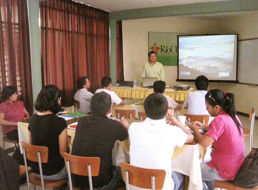
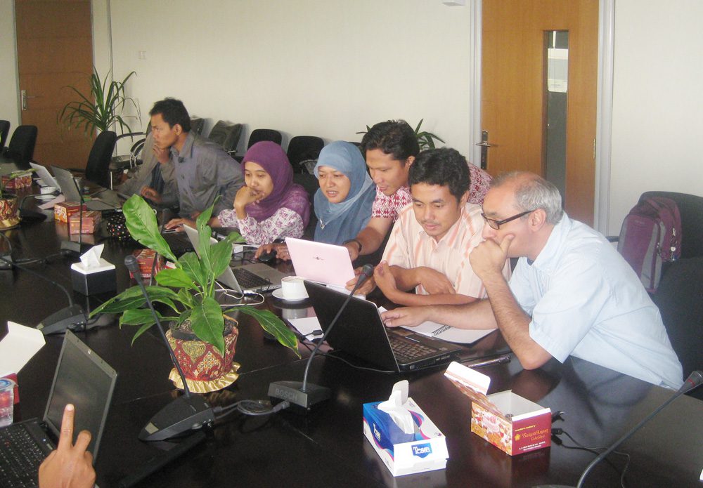
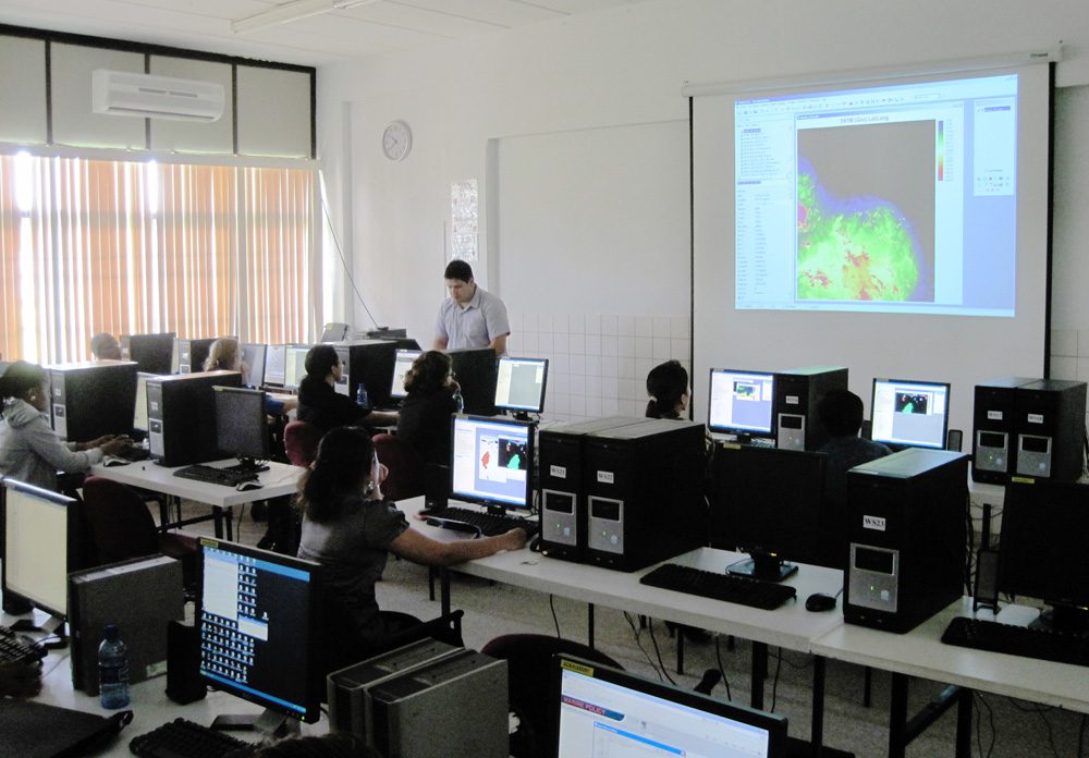
Training
Clark Labs provides customized training and workshops for working with TerrSet. Whether you have a specific analytical service or a customized application, Clark Labs can develop a tailored training or workshop for one or a team of analysts and researchers.
Recent Trainings
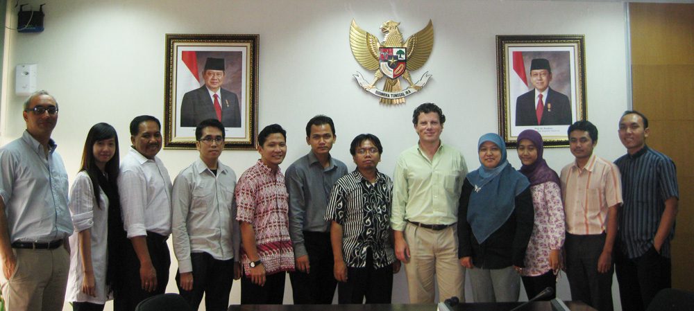
- With the support of Conservation International, training of Indonesian Government staff in national-level REDD planning.
- With the support of World Conservation Society, training of WCS staff on Land Change Modeler and REDD.
- With the support of the Argentinean National Space Agency, training of staff on time series analysis and global climate impact analysis.