


TerrSet 2020 Software Features

The IDRISI GIS tool set offers over 300 analytical tools, primarily oriented to raster data, for the manipulation of geospatial datasets for the exploration of our rapidly changing world.
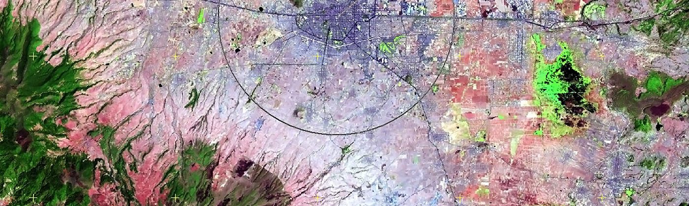
The IDRISI Image Processing System in TerrSet is an extensive set of procedures for image restoration, enhancement, transformation and classification of remotely sensed imagery.
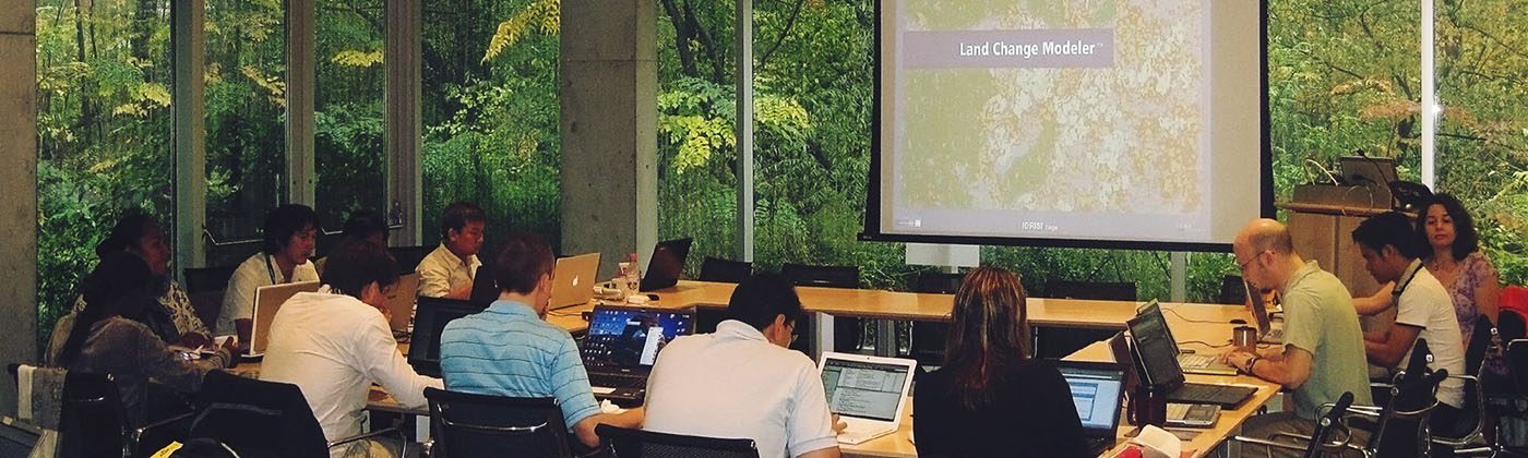
Land Change Modeler (LCM) is an innovative land planning and decision support software tool for land change analysis and prediction with a special facility for REDD project-level modeling.
Habitat and Biodiversity Modeler
The Habitat and Biodiversity Modeler (HBM) is a vertical application intended for habitat assessment, landscape pattern analysis and biodiversity modeling.
GeOSIRIS is a tool that quantifies and maps the impacts of national-level REDD projects on deforestation, carbon emissions, agricultural revenue, and carbon payments.
The Ecosystem Services Modeler (ESM) is a spatial decision support system for assessing the value of natural capital for sustainable development.
The Earth Trends Modeler (ETM) is an integrated suite of tools for the analysis of image time series data associated with Earth Observation remotely sensed imagery.
Climate Change Adaptation Modeler
The Climate Change Adaptation Modeler (CCAM) is suite of tools for modeling future climate and assessing its impacts on sea level rise, crop suitability and species distributions.